LEARNING TO SWIM
photography and video project (currently in progress).
Rising sea levels are no longer just a theory – they are geography in motion. The 17th Annual Map Study by the Società Geografica Italiana, entitled “Paesaggi Sommersi – Geographies of the Climate Crisis in Italy’s Coastal Regions”, documents the future of Italy’s coasts with scientific precision: up to 45% of beaches could be lost or undergo fundamental changes by 2100.
(Source: https://societageografica.net/wp/).
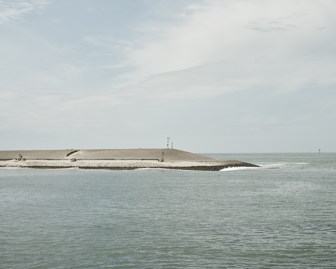
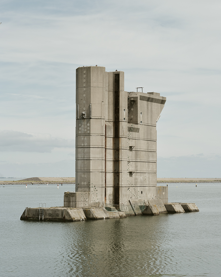
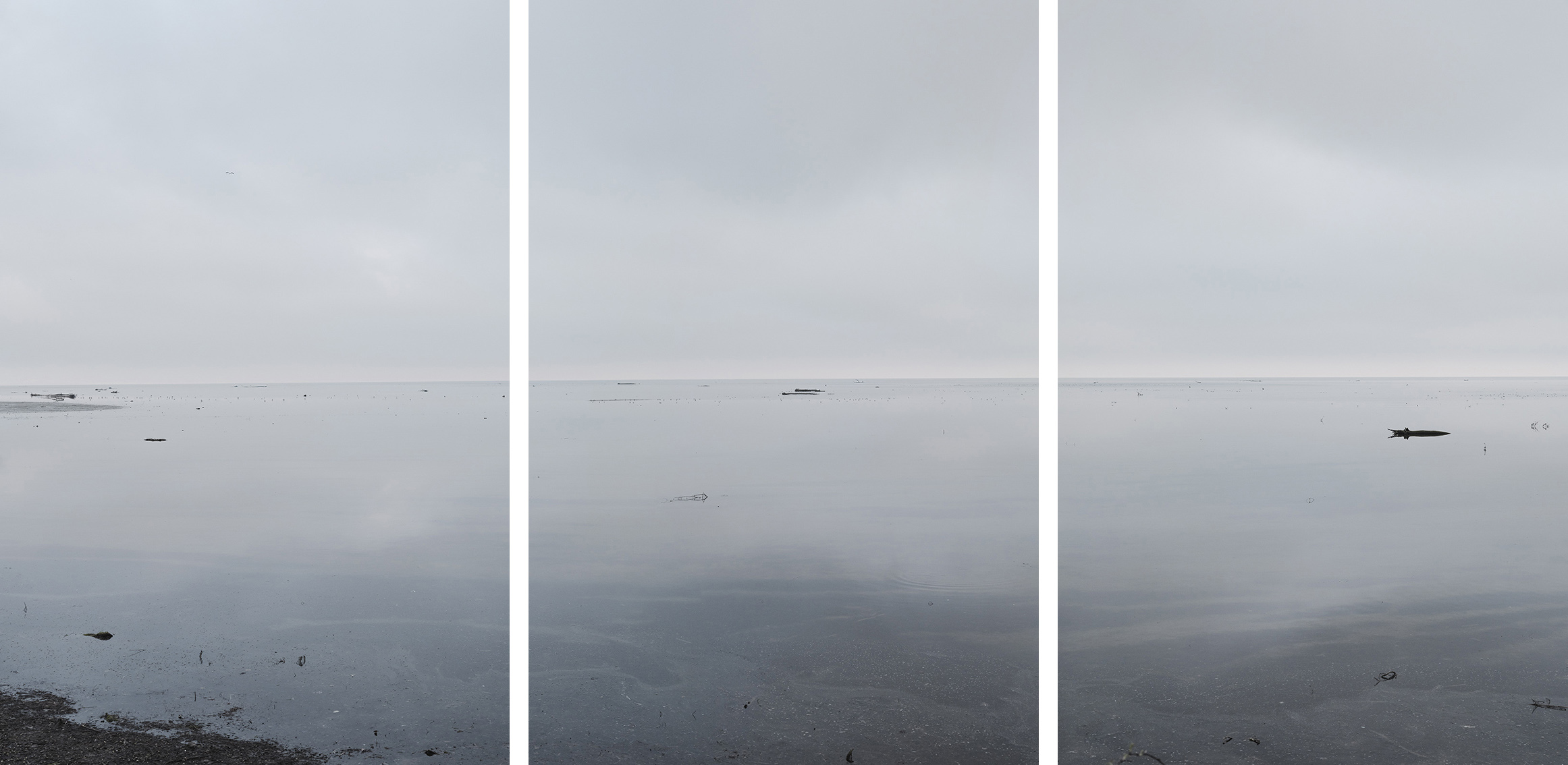
Given the relevance and topicality of the subject, it seems to me essential, building on the artistic work of recent years, to devote myself more closely, on the one hand, to the anthropogenic transformations of the landscapes in the affected coastal regions discussed below, and, on the other hand, above all to human efforts to manage the associated ecological challenges.
These locations and facilities range from Rijeka (analogue water level gauge, Bakar) via Trieste/Venice (Institute of Marine Sciences of the National Research Council, CNR-ISMAR), the lagoons at the mouths of the Isonzo and Brenta rivers, through the Po Delta to Ravenna – areas where sea-level rise, erosion, land subsidence and uncontrolled development combine to form an explosive mix. Above all, however, the precarious conditions along the coasts of the North Sea and the Baltic Sea. In Denmark, northern Germany and the Netherlands, some coastal sections are already being affected by significant changes.